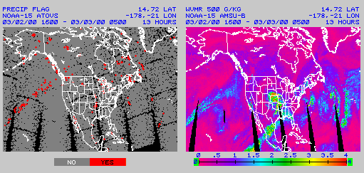
On the left is an image showing areas of moderate to heavy precipitation and on the right is an image of water vapor mixing ratio retrieved at 500 mb.
POES satellites are deployed with a combination of infrared and microwave radiation sounders. Unlike infrared data, microwave observations can penetrate clouds. Except for areas of heavy precipitation and localized temperature inversions, reliable POES products are available under clear and cloudy weather conditions.