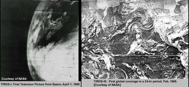
Polar-orbiting satellites were the first to send visible and infrared images, starting with the TIROS-I in 1960. Geostationary satellites provided a new level of temporal continuity beginning in 1966 with the launch of ATS-I.
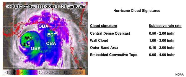
Improvements in spectral, spatial, and temporal resolution have made geostationary satellites the main tool for measuring tropical cyclone intensity. Microwave imagers and radiometers enhance this capability by sensing storm structure and intensity through cirrus shields that hamper visible and infrared imagers and sounders. Less is said about visible and infrared sensor systems as they are covered in other materials. Please see the Resources page for more information.
| Produced by the COMET® Program | Close this window |
 |
|